How Directional Drilling Works in Dallas–Fort Worth Ground
The two soils that run this market
Nearly every DFW bore lives in one of two grounds. The Blackland Prairie clays — the same vertisols that make foundation repair a metro industry — dominate the east and center: high-plasticity, shrink-swell, kind to a drill head when moist and punishing when baked. West and at depth, the Austin Chalk and associated limestones firm up under Tarrant, Parker, and Johnson counties; chalk drills clean but dulls tooling, and the harder ledges below it change the rig conversation entirely.
Practical translation: the same 400-foot fiber shot can be a soft-ground afternoon in Garland and a rock-tooled two-day plan in west Fort Worth. Quotes that don't name the ground are guesses; ours name it.
The sequence, start to finish
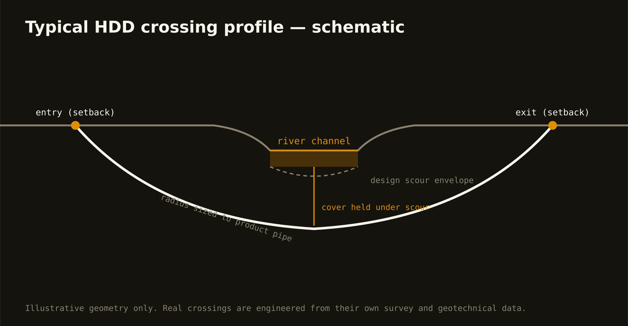
Locates first — 811 plus private locating on anything the one-call doesn't own, then potholing every crossing utility. Pilot bore next, steered on the planned profile. Reaming passes size the hole to roughly one and a half times the product diameter. Pullback brings the duct or pipe through behind the final reamer while the mud column holds the hole open. Restoration closes the pits and returns the surface.
Drilling fluid is the quiet hero and the loudest risk: it cools the head, carries cuttings, and stabilizes the bore — and if the ground gives it a path to daylight, you get an inadvertent return. Fracture-prone chalk and desiccation-cracked clay both offer those paths, which is why annular-pressure awareness and a containment plan aren't paperwork here.
Permits: who owns what you're crossing
City street — the municipality's ROW permit, and DFW has dozens of municipalities with their own forms, fees, and inspection habits. State highway — TxDOT, through the Utility Installation Request portal under the state's utility-accommodation rules. Railroad — the railroad's own real-estate and flagging process on its own timeline. Trinity floodway and levees — the levee districts, with federal review on regulated segments. The permit stack is a scope line in every quote we write, because it's a cost line in every job.
What a straight quote looks like
Across roughly 10,000 crossings quoted through our intake, the pattern that separates a clean job from a disputed one is scope decomposition: locates and potholing counted, pits sized, traffic control named, permit clocks stated, product supply vs. install-only settled, mud handling and restoration included. That's the punch list our scoping tool walks, and it's why the sheet says Pending Review instead of showing you an invented number — a person prices the crossing after the scope is real.
Straight answers
How deep does a bore run under a DFW street?
Depth of cover is set by the authority's standard and the existing utilities — commonly several feet under pavement structure and below everything potholed on the alignment, deeper on TxDOT corridors and engineered crossings. The bore plan states it; the locate marks prove it's clear.
Does shrink-swell clay affect an installed conduit?
The clay moves surface structures far more than a conduit at bore depth, but it's one reason we favor fused product (HDPE, fusible PVC) with no bell joints through active clay — and why grade-critical lines get profile verification during the pull, not after.
Can you drill through the limestone west of Fort Worth?
Yes — with rock tooling, mud motors where the ledge demands it, and a production rate quoted for rock rather than hoped for. The geotech or our probe tells us before the rig does.
Ready to put a number on a real crossing? Send the scope — a person prices it.